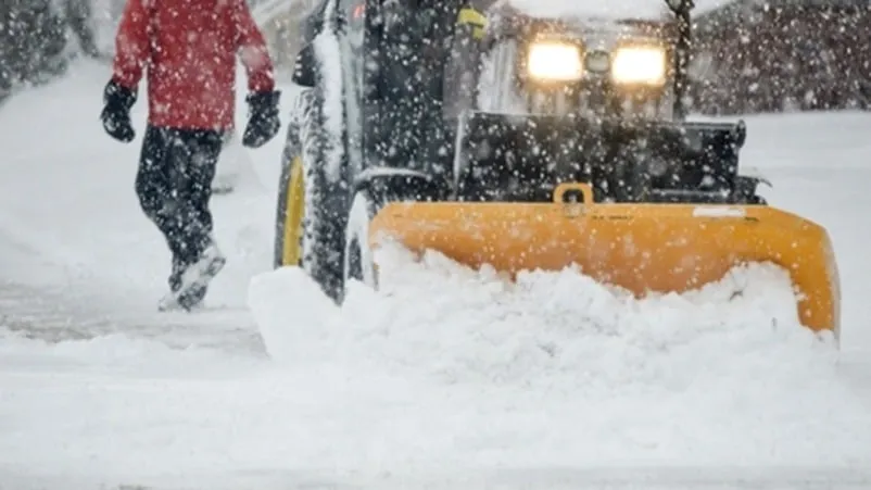
Blizzard Warning Issued
A Blizzard Warning is in effect for Washington’s Cascades from Wednesday evening through Thursday morning, with forecasts predicting between 10 to 20 inches of new snow and wind gusts reaching up to 45 mph.
As the storm approaches, gusty winds are expected to create near whiteout conditions in the mountains on Wednesday night. Meteorologist Abby Acone highlighted the seriousness of the situation, stating, “Normally, when we’re talking about the avalanche threat, we’re really pinpointing what’s going down in the backcountry.” Avalanche danger is currently high in these areas, posing risks for outdoor enthusiasts.
In addition to the blizzard warning, a Snowfall Warning has also been issued for Red Deer and the surrounding areas, where total snowfall amounts of 15 to 20 cm are anticipated. Wind gusts on Highway 3 could reach up to 100 km/h, further complicating travel conditions.
Visibility may be suddenly reduced amid blowing snow on highways, prompting Environment Canada to advise, “Prepare for quickly changing and deteriorating travel conditions. Allow extra time for travel.” This warning serves as a reminder for residents and travelers to exercise caution.
The Blizzard Warning will remain in effect from 6 p.m. Wednesday through 5 a.m. Thursday, with conditions expected to improve following the storm. Observers are closely monitoring the situation, and details remain unconfirmed regarding the storm’s overall impact on travel and safety in the region.