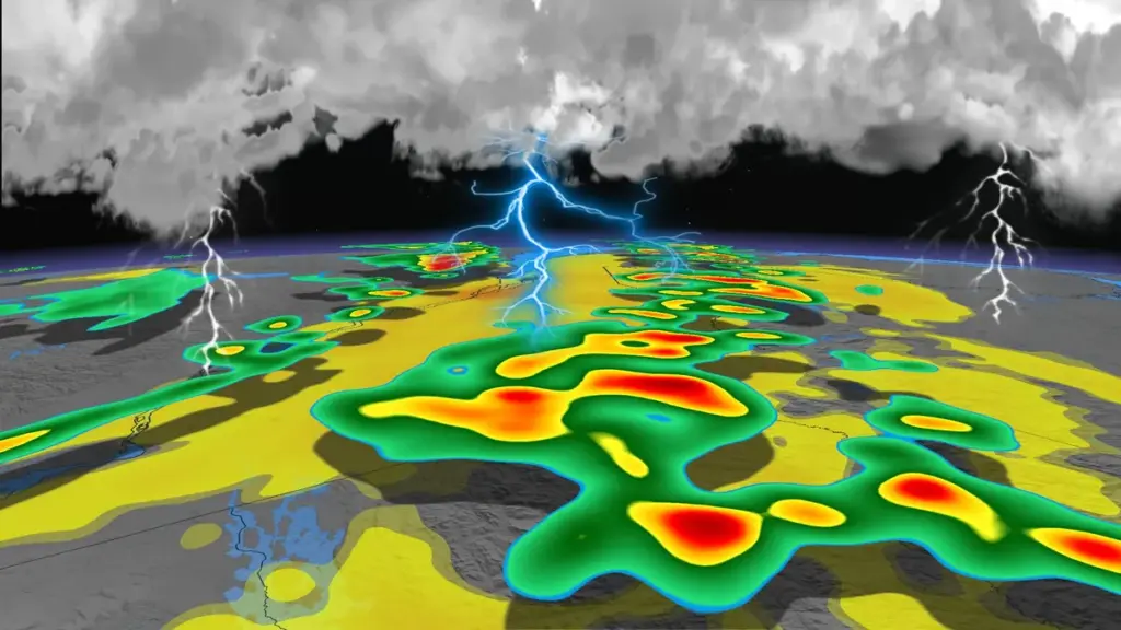
A significant cold front has unleashed violent thunderstorms across Quebec on May 5, 2026, resulting in widespread power outages and wind gusts hitting up to 100 km/h. Over 50,000 customers experienced blackouts at the peak of the storm around 4 PM.
The storms particularly affected the Laurentians and Lanaudière regions, north of Montreal. Environnement Canada issued severe thunderstorm alerts throughout multiple areas as the weather turned dangerous.
Key statistics:
- Wind gusts reached up to 100 km/h at Sherbrooke airport.
- More than 50,000 customers were without power during the peak of outages.
- Temperatures are expected to drop below 10° Celsius from Tuesday to Wednesday due to the cold front.
The thunderstorm warnings were lifted by the end of the evening. However, officials cautioned that conditions could still pose risks. One meteorologist noted, “Les activités nautiques pourraient s’avérer dangereuses en raison des rafales violentes et soudaines sur les plans d’eau,” emphasizing the hazards for those near water.
As summer approaches, this event serves as a reminder that severe weather is becoming more common in Quebec. In May alone, Quebec averages about 12 days with at least one thunderstorm, compared to just four days in April.
Looking ahead, temperatures are projected to stay lower than usual for this time of year. Locals are advised to stay alert as weather patterns continue to shift.