Current Weather Situation
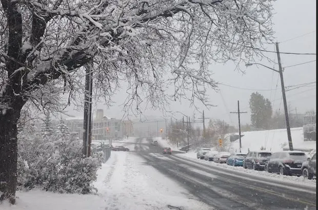
A harsh winter storm is hitting southern and eastern Ontario, prompting winter storm warnings, snowfall warnings, and freezing rain warnings from Parry Sound north to Timmins and from Sault Ste. Marie to Mattawa.
In the affected areas, up to 20 centimetres of snow is expected to accumulate, with Environment Canada meteorologist Eric Tomlinson noting that the weather situation will be messy, starting with snow and potentially switching to ice pellets and freezing rain.
Impact on Travel and Education
Many school buses are cancelled on Wednesday in the affected regions, highlighting the impact of the storm on local education. Ontario’s 511 reports highway conditions ranging from partly snow covered to fully snow covered, with some areas experiencing reduced visibility.
Conditions on the Coquihalla
In addition to the warnings in northeastern Ontario, hazardous winter conditions are expected on the Coquihalla between Hope and Merritt due to a winter storm warning. Up to 60 centimetres of snow is anticipated to fall on the Coquihalla by Thursday morning, accompanied by strong southwest wind gusts of up to 100 km/h.
These wind gusts are expected to create near-zero visibility in blowing snow, further complicating travel in the region. Environment Canada advises travelers to prepare for quickly changing and deteriorating travel conditions.
Looking Ahead
As the storm progresses, snow will begin in earnest late Wednesday afternoon as the low approaches the highway, according to Environment Canada. Observers and officials are closely monitoring the situation as it develops, and updates will be provided as more information becomes available.